

Photo: Top of Dead Womans Pass
Sunday, June 1, 1997 We were on the trail by 6:30 AM, heading uphill to the Abra de Huarmihuanusca (Dead Womans Pass). I reached the top by 11:00, but we had to wait an hour for the others to reach the 13,500' pass. After resting, Jan decided to go back to the start, and Rick decided to return with her.
The remaining four of us left the pass at 1:00 PM and after a steep descent reached the Rio Pacamayo (Elevation 11,300') at 2:00 PM. After a quick lunch we continued up to the ruins of Runkuracay (Egg Hut). Runkuracay was probably a lookout point. We got to the second pass, Abra de Runkuracay (elevation 13,120), by 4:00 PM. From there it was an easy descent to Sayacmarca (Dominant Town).
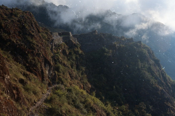
The Inca ruins of Sayacmarca are reached by climbing & very steep, narrow stairs. The settlement was fairly complex, and remote. We had camped here 5 years ago, but "no camping" signs were now prominently displayed.
Photo: Ralph at Dead Womans Pass
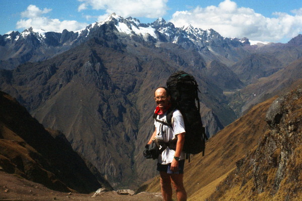
Photo: Looking from Dead Womans Pass to Runturacay
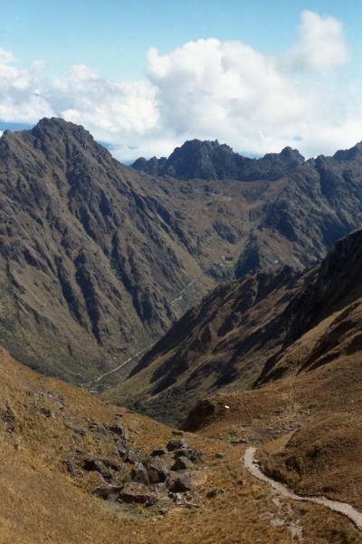
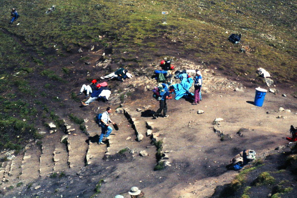
Photo: Josh, Bernie & Mary at Runkuracay
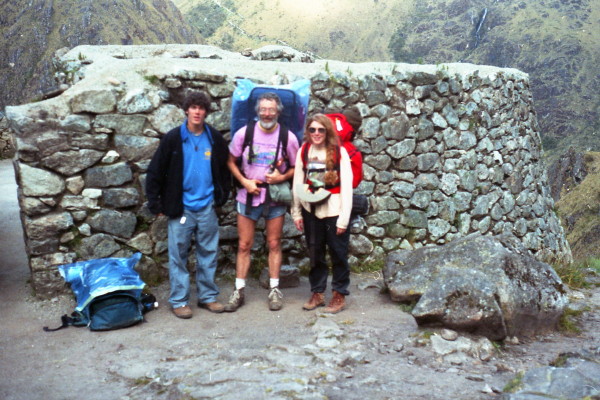
Photo: Runkuracay
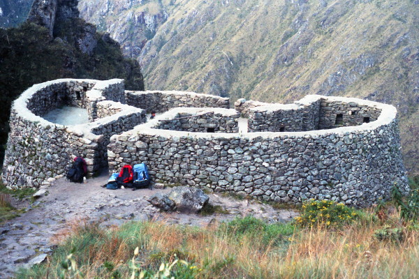
Photo: Bernie & Mary on steep trail
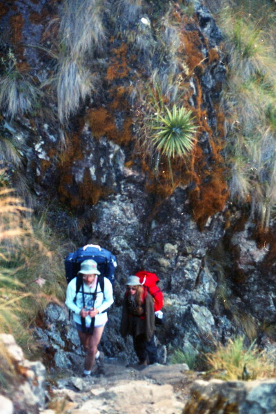
Photo: Inca Trail
Photo: Flowers on trail
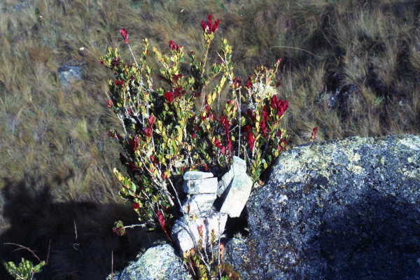
Photo: Steep Inca Trail
Map of Inca Trail