

Photo: Puyupatamarca
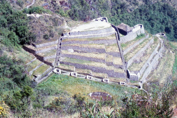
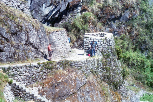
Monday, June 2, 1997 Josh and I went up to the ruins in the morning. The view was spectacular. We left the site about 8:30 AM. The first part of the trail winds upward on the highly visible Inca road. About 11 AM, soon after going though a tunnel 20 yards long, we reach the 3rd pass (13,000'+) of the hike. Directly below are the ruins of Puyupatamarca (Cloud level town). The ruins have a fine set of ritual baths and a large number of agricultural terraces.
Photo: Mary & Bernie
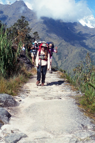
Photo: Bernie, Miranda, Brit, Jan & Mary at Puyupatamarca water source
Photo: Puyupatamarca ritual baths
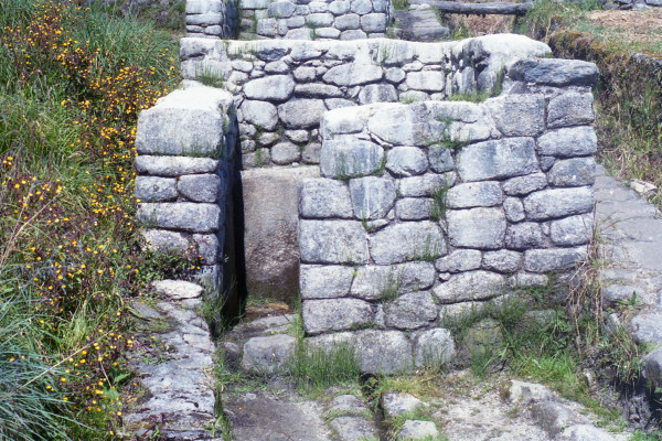
Photo: Puyupatamarca
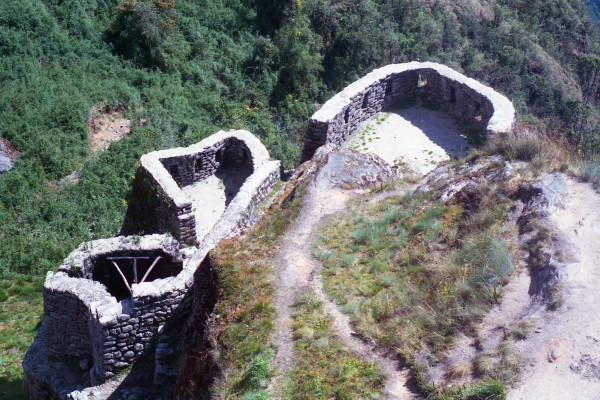
Photo: Puyupatamarca
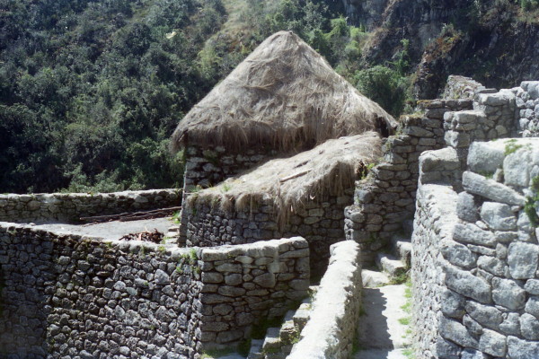
Photo: Puyupatamarca
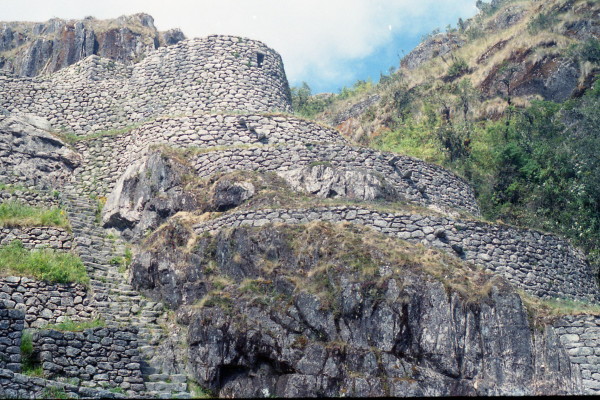
Photo: Bernie at Puyupatamarca
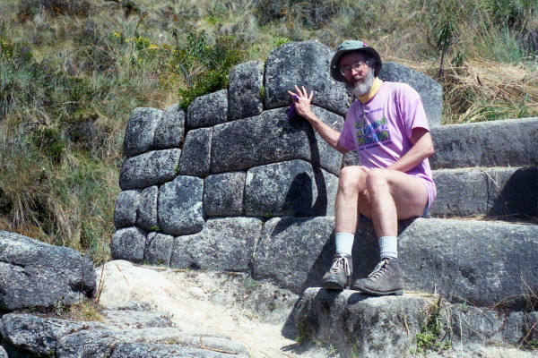
Photo: Puyupatamarca
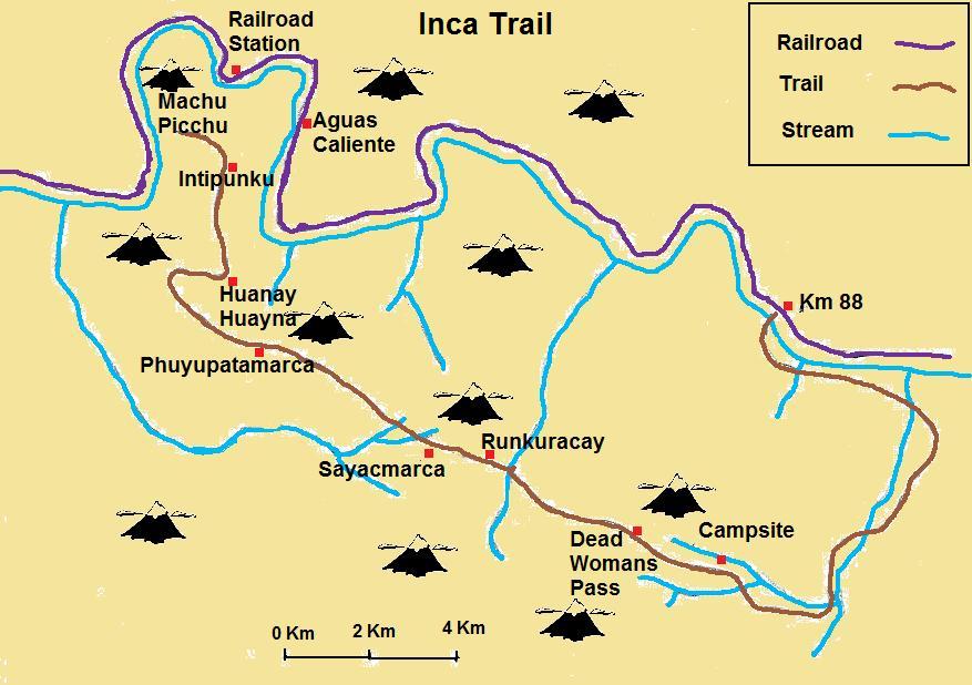
Map of Inca Trail