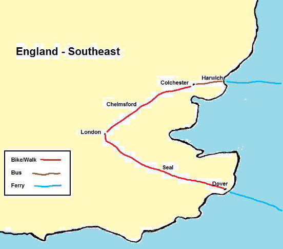


Photo: Old church, Essex Way
Jun 16, 1979 I had a big English breakfast of cereal, toast, bacon, eggs, and tea. I took the bus to Coggeshell to find the hiking path, the Essex Way. Despite the map, or because of it, I was soon lost. The map had me going through farmers fields, wet marshes, looking for woods that had been cut down, etc.
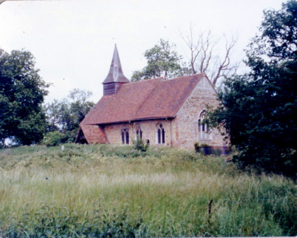
I gave up on the map and followed country roads that more or less lead to London. Some ladies touring in a car told me of some 11th century barns at Crossing. It was a good tip and I did visit the barns.
After 20 miles I reached Chelmsford and asked where I could camp. A gentleman first suggested a park but then referred me to a field near a church.
Photo: Calves and barn at Sparrow Farm
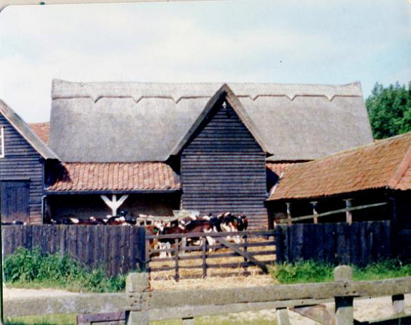
Photo: Protest sign against proposed new airport
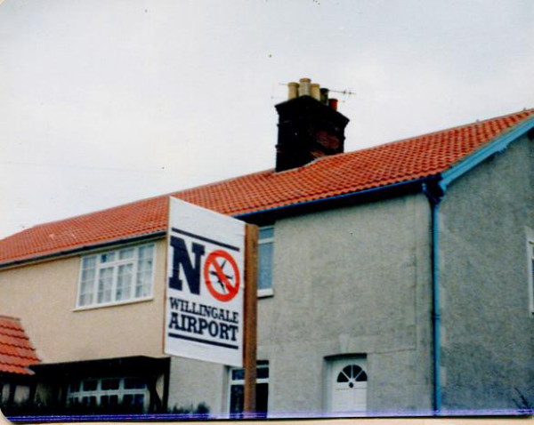
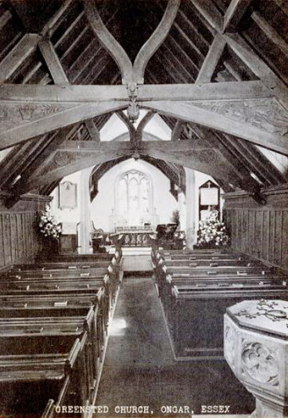
Photo: Postcard of Greensted, oldest wood church in world

Photo: Postcard of Greensted interior
Map of Southeast England