

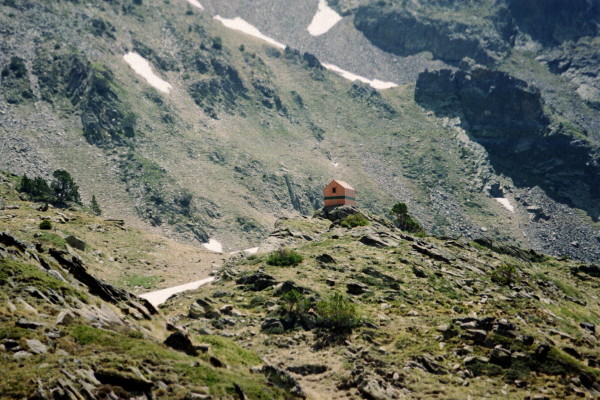
Photo: Refugi de Baborte near Coll de Sellente
June 14, 2001 The trail in the guide book departed from the GR11 route. The canyon to the Estany de Sotilo was very beautiful. From the lake the path led up a stream feeding the lake, but much of it was covered by snow. I was trying to guess where the pass was when I saw 3 Spanish men descending from the snowy pass. The pass was steep in places but manageable.
I got to the Refugi de Baborte and had lunch. Getting over the next pass, Coll de Sellente, was easy. However, the next several miles following the stream was difficult because of the many crossings. Four crossings were in sandals, and the last was thru very deep and fast moving water. I was relieved to get to a campsite at Planell de Boavi.
Photo: View of Tavascan from village of Aineto
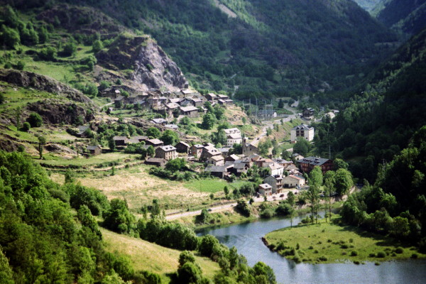
June 15, 2001 It was an easy walk to Tavascan. There I had breakfast and bought a few groceries. The trail rejoined the GR11 in town. The route was steadily uphill to the Collada de Jou. From there the path was almost nonexistent due to the thick bushes. Near the river below, the trail is clear and leads to the town of Estaon.
Short of the village I meet two Scottish hikers, Robin and Ian, and Danny from Barcelona. We continue on about an additional mile to a campsite next to an old abandoned house. Danny & I chose to sleep in the old house. Danny was walking from the east coast of Spain to the west coast on the other side of the Pyrenees. It rained that night.
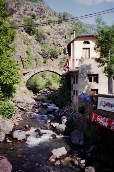
Photo: Tavascan bridge
June 16, 2001 I started before the others and got lost briefly on the way to the Coll de Calvo. It was a long walk down from the pass. In the almost abandoned village of Dorve, I saw a solo girl playing with a gameboy.
Danny caught up to me just before I reached La Guingeta. We decided to stay at a camp in the small town. We had the menu del dia at a local restaurant. It was great to wash clothes, rest, and get cleaned up.
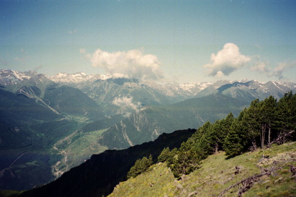
Photo: View of Parc Nacional d'Aiguestortes i Estany de Sant Marici from Coll de Calvo
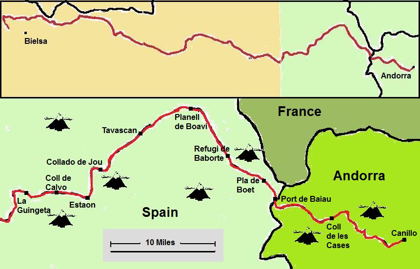
Map: Start of Pyrenees trek from Andorra